Six neighbourhoods, one river
The westboro.homes hub spans six west-end Ottawa neighbourhoods between the Ottawa River and Carling Avenue: Westboro, Westboro Beach, Highland Park, McKellar Park, Carlingwood and Woodroffe North. Westboro grew from 19th-century farms and mills along Richmond Road into a police village, which Ottawa annexed in 1949; its main street is now a busy shopping and dining district. Further west the streets are mostly post-war, built out around Carlingwood Shopping Centre after it opened in 1956. The NCC's riverfront, with Westboro Beach (reopened in 2025) and the Capital Pathway, runs along the whole northern edge, and the O-Train Line 1 west extension, listed for 2027, will add Westboro, Kichi Zìbì, Sherbourne and New Orchard stations across the area.
The Westboro area has 6 neighbourhoods: Westboro, Westboro Beach, Highland Park, McKellar Park, Carlingwood and Woodroffe North. From each neighbourhood centre, the nearest school-board elementary school is a 3–10-minute walk and the nearest grocery store 6–20 minutes (OSRM walking estimates).
Updated · Facts on this page link to their sources
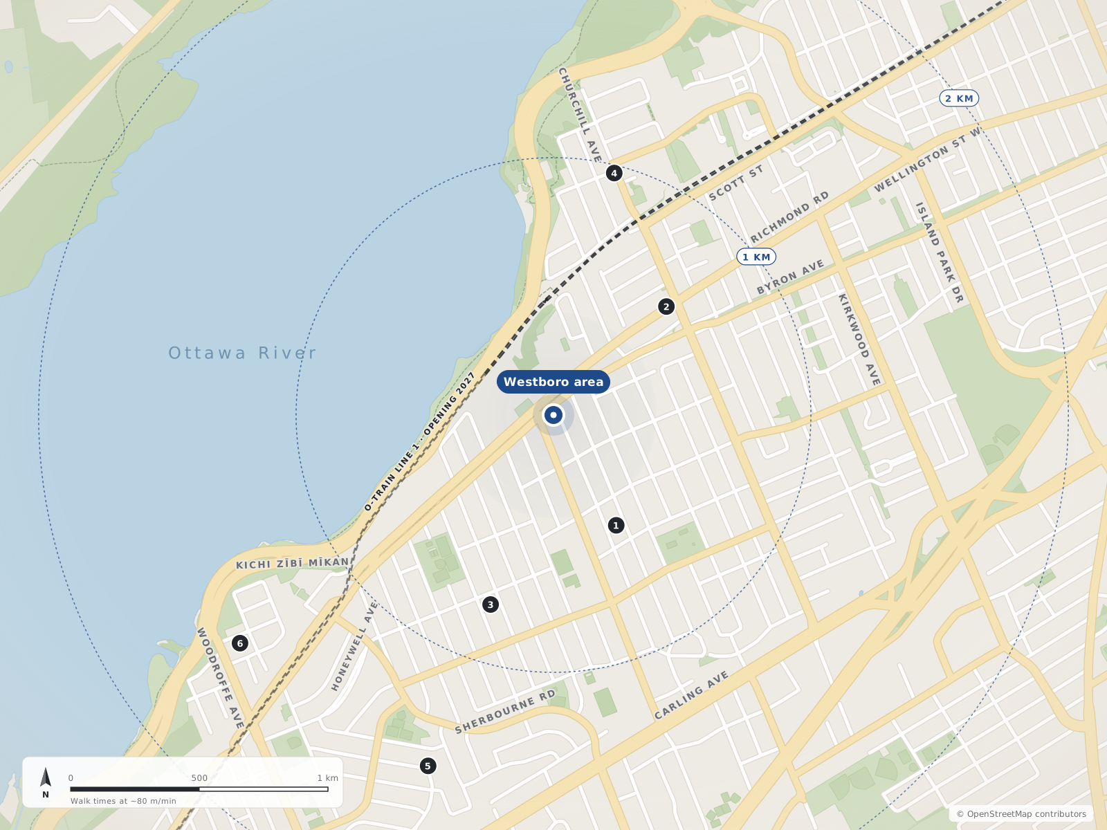
Neighbourhood centres
- 1Highland Park490 m
- 2Westboro610 m
- 3McKellar Park780 m
- 4Westboro Beach970 m
- 5Carlingwood1.4 km
- 6Woodroffe North1.5 km
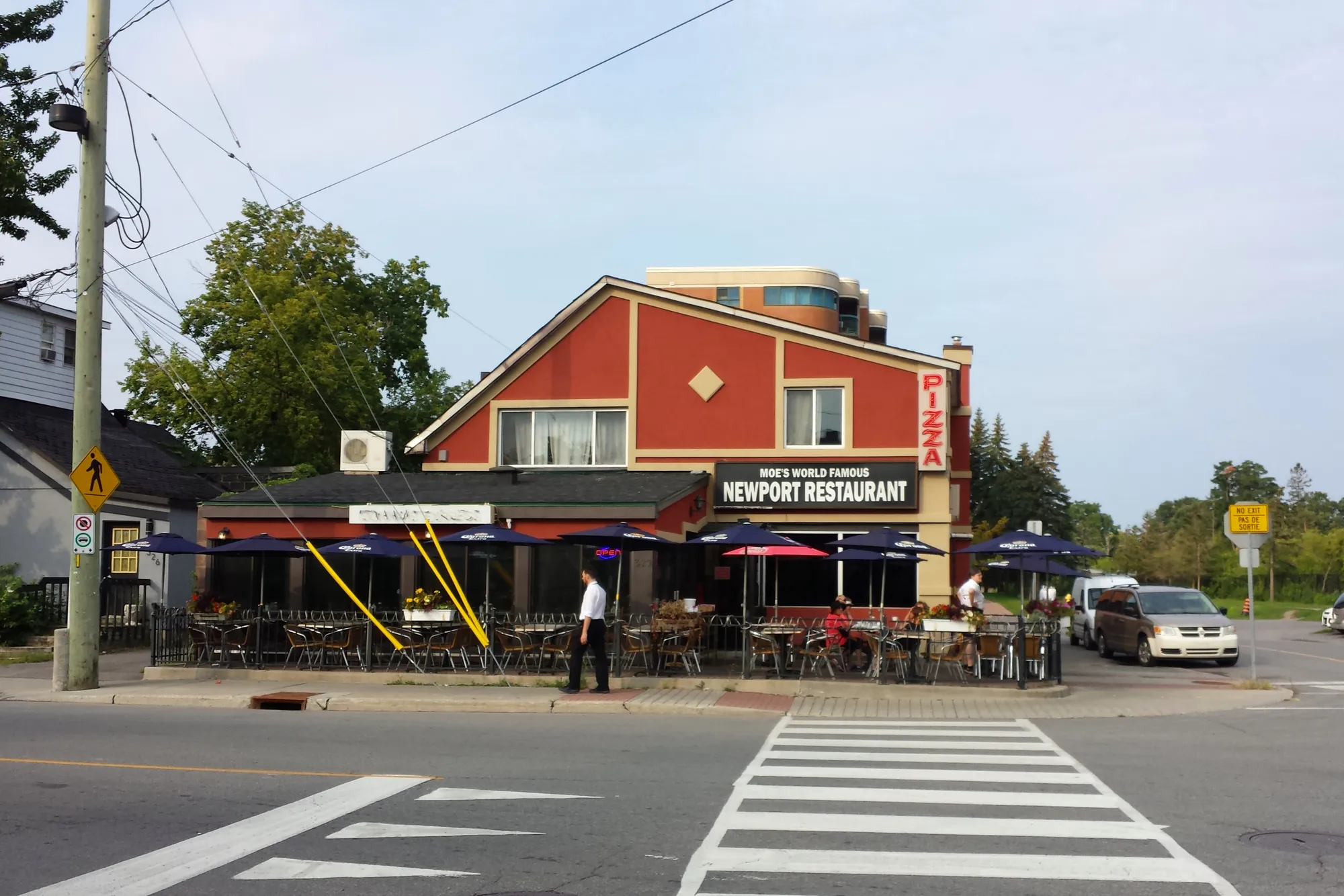
Moe's Newport Restaurant at Richmond Road and Churchill Avenue, Westboro. Photo: P199, CC BY-SA 3.0, via Wikimedia Commons 01Westboro
The west end's original village: Richmond Road shops and cafes, early-1900s streets, and the Ottawa River a few blocks north.
Definitions vary. The Westboro Community Association covers east of Denbury Avenue and west of Tweedsmuir Avenue, between Carling Avenue and Scott Street/the Transitway (LRT corridor), plus the block between Tweedsmuir, Richmond Road, Island Park Drive and Scott. Wikipedia's broader definition runs from Island Park Drive in the east to the Ottawa River in the north (including Westboro Beach). For this hub, Westboro is mapped as the village core: Scott Street/Transitway to the north, Island Park Drive (north of Richmond) and Tweedsmuir Avenue (south of Richmond) to the east, Carling Avenue to the south, and Churchill Avenue (south of Richmond Road) / the Denbury Avenue line (north of Richmond) to the west. The area between Churchill and Denbury south of Richmond is shown as Highland Park; the WCA's own area overlaps it.
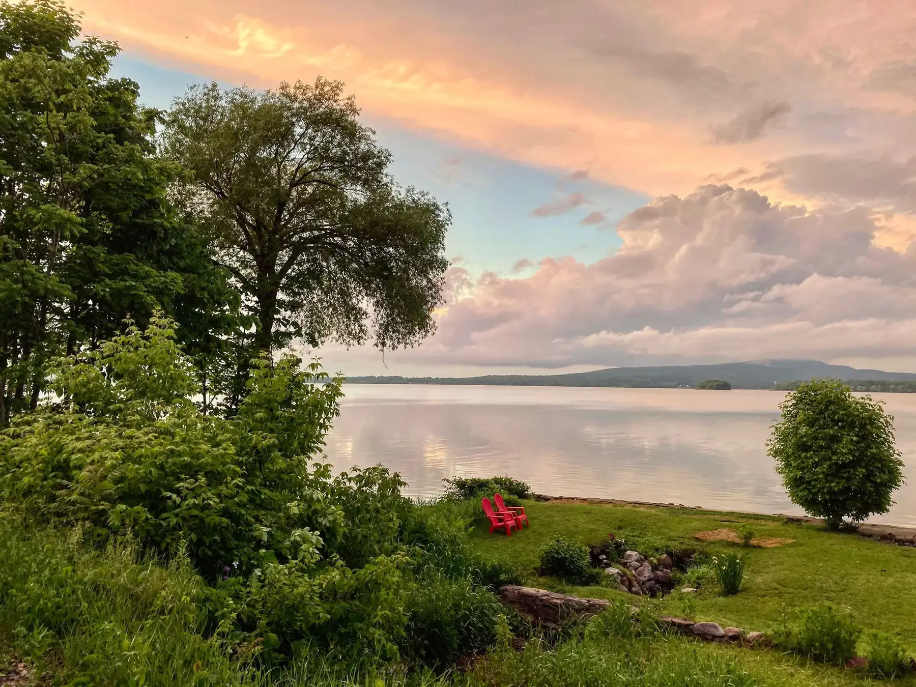
Summer evening on the Ottawa River shoreline. Photo: Guapitomark, CC BY 4.0, via Wikimedia Commons 02Westboro Beach
The riverside streets between the Transitway and the Kichi Zibi Mikan, built around one of Ottawa's oldest swimming beaches.
Bounded by the Kichi Zibi Mikan (formerly the Sir John A. Macdonald Parkway) and the Ottawa River to the north and west, the Transitway/LRT corridor along Scott Street to the south, and Island Park Drive to the east (Westboro Beach Community Association map). It is the part of greater Westboro north of the Transitway; the NCC beach itself sits just west of the residential area on the river.
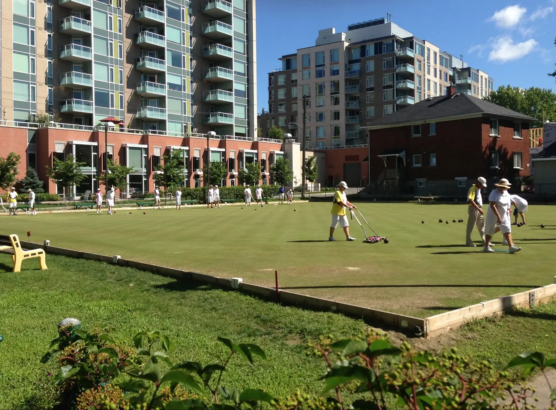
Lawn bowling green in Westboro. Photo: Ross Dunn, CC BY-SA 2.0, via Wikimedia Commons 03Highland Park
Westboro's leafy south-west quarter: early-1900s lots, two high schools, the Dovercourt pool and a lawn-bowling green dating from 1914.
Bounded by Richmond Road to the north, Carling Avenue to the south, Denbury Avenue to the west and Churchill Avenue to the east (Wikipedia; the Highland Park Ratepayers Association agrees the community extends east to Churchill, although its own association boundary stops at Golden Avenue). It is a sub-neighbourhood of Westboro, and the Westboro Community Association's area (east of Denbury) overlaps it. McKellar Park is to the west.
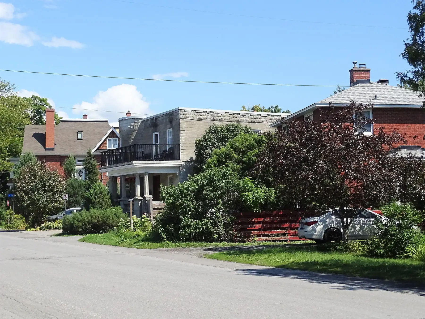
Homes on Byron Avenue near McKellar Park. Photo: Mosbo6, CC BY-SA 4.0, via Wikimedia Commons 04McKellar Park
A residential grid between Denbury and Sherbourne, running from Carling Avenue up to the river, with its own park, fieldhouse and rink.
Bounded by Denbury Avenue (and its line north) to the east, Sherbourne Road to the west and south-west, the Ottawa River/Kichi Zibi Mikan to the north, and Carling Avenue at its south-east corner (McKellar Park Community Association map; Wikipedia gives Denbury to the east, Sherbourne to the south and west, and the river to the north). Highland Park is directly east and Carlingwood is to the south-west across Sherbourne.
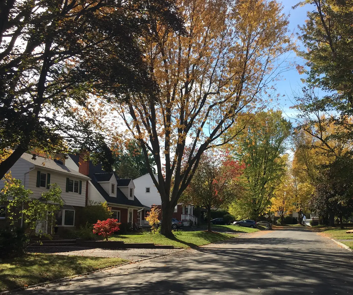
Autumn colour on Dovercourt Avenue, Carlingwood. Photo: Ross Dunn, CC BY-SA 2.0, via Wikimedia Commons 05Carlingwood
Mid-century streets built around Carlingwood Shopping Centre, with schools, parks and the library all within walking distance.
Roughly bounded by Richmond Road to the north, Sherbourne Road to the east, Carling Avenue to the south and Woodroffe Avenue to the west (Wikipedia). McKellar Park lies across Sherbourne to the north-east and Woodroffe North across Richmond to the north-west. ONS includes Carlingwood in its 'Laurentian' area.
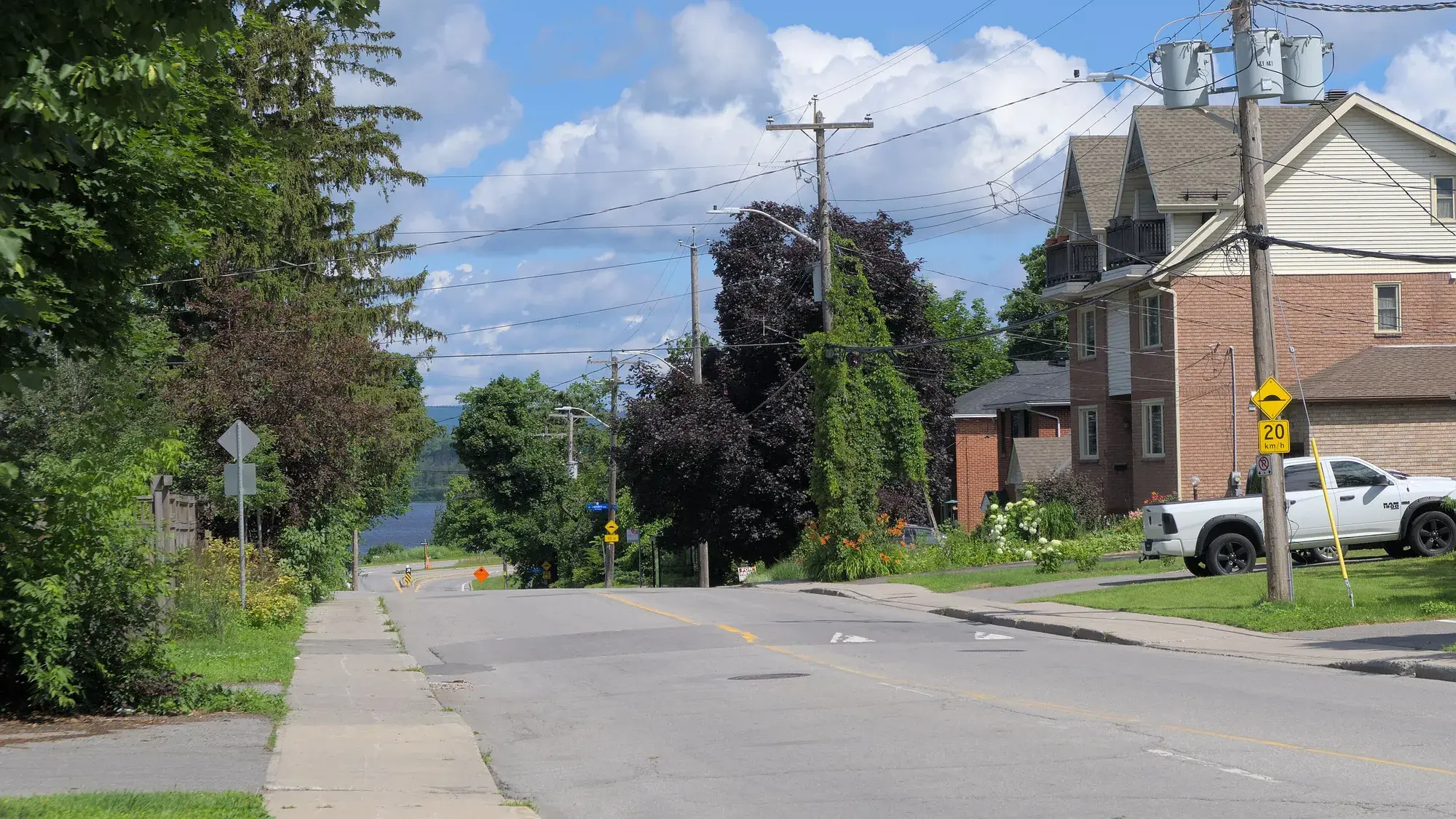
North end of Woodroffe Avenue, with the Ottawa River beyond. Photo: Natthager, CC BY-SA 4.0, via Wikimedia Commons 06Woodroffe North
A small riverside enclave north of Richmond Road around Woodroffe Avenue, where early cottages have given way to houses.
Bounded by Richmond Road to the south, Pooler Avenue to the west, the Ottawa River (Kichi Zibi Mikan) to the north, and the northern extension of Sherbourne Road (the Cleary Avenue line) to the east (Wikipedia; matches the OpenStreetMap 'Woodroffe North' boundary). Wikipedia also says the Woodroffe North community includes residents on streets west of Woodroffe Avenue and that the area west of New Orchard Avenue is known as Ambleside. The historic Woodroffe community (Capital Heritage / Nepean Museum) was much larger, running from the Ottawa River to Carling Avenue with Pinecrest Creek on the west.
Quick answers
Short answers first; each links to the full answer and its sources.
What neighbourhoods make up the Westboro area of Ottawa?
westboro.homes covers six neighbouring west-end Ottawa communities: Westboro, Westboro Beach, Highland Park, McKellar Park, Carlingwood and Woodroffe North. Together they run from the Ottawa River south to Carling Avenue, and from Island Park Drive and Tweedsmuir Avenue west to Woodroffe and Pooler avenues.
As of 2026-10-30 · en.wikipedia.org westborocommunityassociation.ca
Where exactly is Westboro, and what are its boundaries?
Westboro is in Ottawa's west end, centred on Richmond Road. The Westboro Community Association covers the area east of Denbury Avenue and west of Tweedsmuir Avenue, between Carling Avenue and Scott Street, plus the block between Tweedsmuir, Richmond Road, Island Park Drive and Scott.
As of 2026-10-30 · westborocommunityassociation.ca en.wikipedia.org
Which City of Ottawa ward is Westboro in?
Westboro, Westboro Beach and Highland Park are in Kitchissippi Ward (Ward 15). McKellar Park, Carlingwood and Woodroffe North are in Bay Ward (Ward 7), and the line between the two wards runs along Denbury Avenue.
As of 2026-10 · kitchissippi.com cbc.ca
What is the difference between Westboro and Carlingwood?
Westboro is the older village around Richmond Road, with most houses built between 1900 and 1960 and many newer condos, while Carlingwood is mostly late-1950s single-family streets built around Carlingwood Shopping Centre. In the 2021 census, the ONS 'Westboro' area was 21.9% single-detached houses and 53.6% renters, compared with 47.5% and 41.6% in the 'Laurentian' area that includes Carlingwood.
As of 2026-10-30 · en.wikipedia.org en.wikipedia.org
How can I check crime in Westboro?
The Ottawa Police Service publishes crime data through its Community Safety Data Portal at data.ottawapolice.ca, where anyone can view, download and map data the police release. It includes datasets on criminal offences, bike theft, motor vehicle theft, shootings, hate crime and dispatched calls for service.
As of 2026-10 · data.ottawapolice.ca
How many people live in Westboro?
The Ottawa Neighbourhood Study's 'Westboro' area had 12,280 residents and 6,790 private dwellings in the 2021 census. That area includes Westboro Beach, Laurentian View and Hampton-Iona, so it is larger than Westboro Village alone.
As of 2021 · ons-sqo.ca ons-sqo.ca